MotoRev
Route Scenic Staff Pick
Midland Trail (US 60)
Gauley Bridge to Lewisburg


- Distance
- 67 mi
- Riding Time
- 1h 49m
- Climb
- 5,043 ft
- Difficulty
- Moderate
- Surface
- Paved
- Character
- Twisty
- Saves
- 0
Ride This Route opens it in MotoRev on your phone, iPhone or Android, for turn by turn navigation. On a computer, scan the code with your phone. Save Route keeps it in your saved routes on the web and in the app.
Road Guide
- Best Season
- April through November. October color in the New River Gorge is the high point.
- Fuel
- Fuel in Gauley Bridge, Ansted, Rainelle and Lewisburg.
- Watch For
- Tight curves on the climb from Gauley Bridge, coal and log trucks, and slow traffic through the towns.
Weather Along the Route
Forecast at the hour you reach each point, from the riding time. Leave Departure empty to leave now. Forecast from Open-Meteo.
The Midland Trail is a National Scenic Byway on US 60 across southern West Virginia. East of Gauley Bridge it passes Cathedral Falls, then climbs to Hawks Nest State Park with its overlook high above the New River Gorge. From there it crosses rolling mountain country through Ansted and Rainelle to the historic town of Lewisburg.
Stops
- StartGauley Bridge
- FinishLewisburg
Comments
More Routes Nearby
See All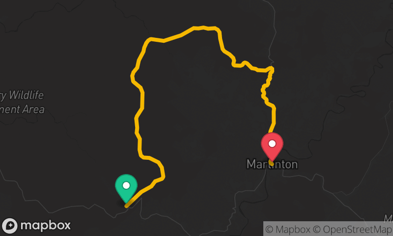
Highland Scenic Highway (WV 150)
Cranberry Mountain Nature Center to Marlinton
- Distance
- 29 mi
- Time
- 46 min
- Climb
- 3,002 ft
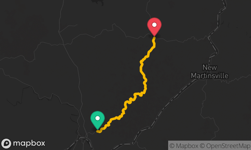


Blue Ridge Parkway: Roanoke to Fancy Gap
Roanoke to Fancy Gap
- Distance
- 78 mi
- Time
- 2h 10m
- Climb
- 6,040 ft