 MotoRev
Route Scenic Staff Pick
Blue Ridge Parkway: Roanoke to Fancy Gap
Roanoke to Fancy Gap


- Distance
- 78 mi
- Riding Time
- 2h 10m
- Climb
- 6,040 ft
- Difficulty
- Easy
- Surface
- Paved
- Character
- Twisty
- Saves
- 0
Ride This Route opens it in MotoRev on your phone, iPhone or Android, for turn by turn navigation. On a computer, scan the code with your phone. Save Route keeps it in your saved routes on the web and in the app.
Road Guide
- Best Season
- April through November. Spring green and fall color are both fine here.
- Closures
- Sections close in winter for snow and ice and at other times for repairs. Check the National Park Service road status before riding.
- Fuel
- There is no fuel on the Parkway. Exit to Roanoke, Floyd, Meadows of Dan or Fancy Gap.
- Watch For
- A 45 mph limit, farm traffic at crossings, deer, and fog on the plateau.
Weather Along the Route
Forecast at the hour you reach each point, from the riding time. Leave Departure empty to leave now. Forecast from Open-Meteo.
South of Roanoke the Blue Ridge Parkway leaves the steep ridges behind and rolls across a high plateau of farms, split rail fences and woodlots. It passes Rocky Knob and Mabry Mill, a restored gristmill that is one of the most photographed places on the Parkway, then continues past Groundhog Mountain to Fancy Gap.
Stops
- StartRoanoke
- FinishFancy Gap
Comments
More Routes Nearby
See All
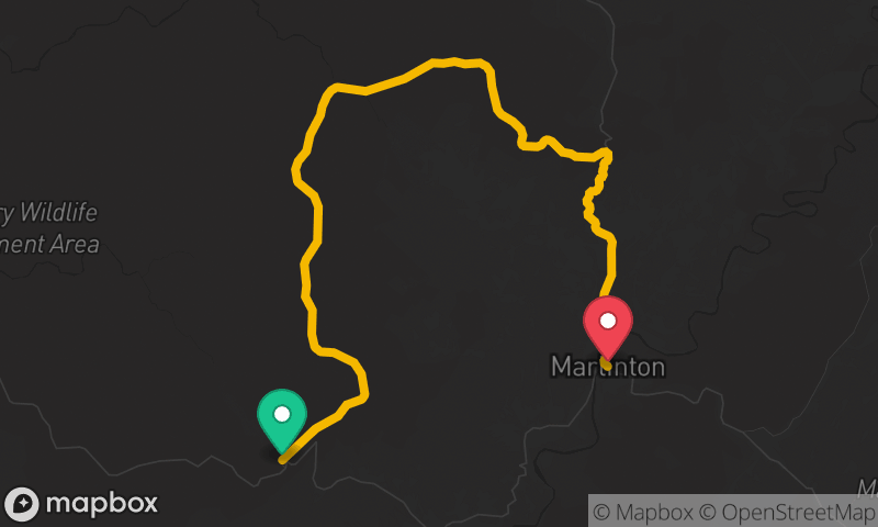
Highland Scenic Highway (WV 150)
Cranberry Mountain Nature Center to Marlinton
- Distance
- 29 mi
- Time
- 46 min
- Climb
- 3,002 ft

Blue Ridge Parkway: Rockfish Gap to James River
Rockfish Gap to James River
- Distance
- 62 mi
- Time
- 2h 08m
- Climb
- 4,380 ft

