 MotoRev
Route Twisty Staff Pick
Back of the Dragon
Marion to Tazewell


- Distance
- 33 mi
- Riding Time
- 1h 01m
- Climb
- 4,564 ft
- Difficulty
- Hard
- Surface
- Paved
- Character
- Twisty
- Saves
- 0
Ride This Route opens it in MotoRev on your phone, iPhone or Android, for turn by turn navigation. On a computer, scan the code with your phone. Save Route keeps it in your saved routes on the web and in the app.
Road Guide
- Best Season
- April through October. Shaded turns hold frost and damp late in the year.
- Fuel
- Fill up in Marion or Tazewell. There is little in between.
- Watch For
- Tight blind curves, steep grades, gravel at the edges, deer and local traffic.
Weather Along the Route
Forecast at the hour you reach each point, from the riding time. Leave Departure empty to leave now. Forecast from Open-Meteo.
VA 16 between Marion and Tazewell is promoted as the Back of the Dragon. Leaving Marion it passes Hungry Mother State Park, then climbs over a series of mountain ridges in long runs of tight, linked curves with valley farmland between them. Traffic is light and the pavement is generally good.
Stops
- StartMarion
- FinishTazewell
Comments
More Routes Nearby
See All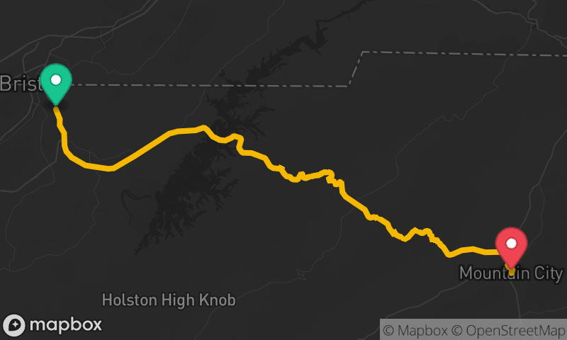

Blue Ridge Parkway: Blowing Rock to Little Switzerland
Blowing Rock to Little Switzerland
- Distance
- 41 mi
- Time
- 1h 05m
- Climb
- 4,239 ft


Blue Ridge Parkway: Roanoke to Fancy Gap
Roanoke to Fancy Gap
- Distance
- 78 mi
- Time
- 2h 10m
- Climb
- 6,040 ft
