 MotoRev
Route Historic Staff Pick
Wilderness Road (US 58)
Jonesville to Cumberland Gap


- Distance
- 34 mi
- Riding Time
- 36 min
- Climb
- 1,624 ft
- Difficulty
- Easy
- Surface
- Paved
- Saves
- 0
Ride This Route opens it in MotoRev on your phone, iPhone or Android, for turn by turn navigation. On a computer, scan the code with your phone. Save Route keeps it in your saved routes on the web and in the app.
Road Guide
- Best Season
- April through November.
- Fuel
- Fuel in Jonesville, Ewing and Cumberland Gap.
- Watch For
- Farm equipment, slow trucks and local traffic turning on and off the highway.
Weather Along the Route
Forecast at the hour you reach each point, from the riding time. Leave Departure empty to leave now. Forecast from Open-Meteo.
US 58 runs west through Lee County in the far southwest corner of Virginia, following the general route of the Wilderness Road that settlers used to reach Kentucky through Cumberland Gap. The road follows a long valley at the foot of Cumberland Mountain, whose wall of cliffs stays in view to the north. Wilderness Road State Park sits beside the highway near the west end.
Stops
- StartJonesville
- FinishCumberland Gap
Comments
More Routes Nearby
See All


Cumberland Falls Road (KY 90)
Corbin to Cumberland Falls State Resort Park
- Distance
- 19 mi
- Time
- 31 min
- Climb
- 1,129 ft

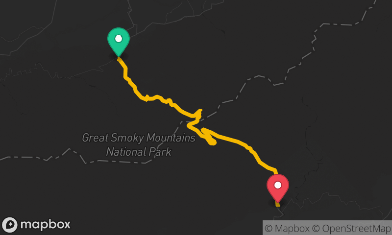
Newfound Gap Road
Sugarlands Visitor Center to Oconaluftee Visitor Center
- Distance
- 29 mi
- Time
- 54 min
- Climb
- 3,717 ft