 MotoRev
Route Scenic Staff Pick
Newfound Gap Road
Gatlinburg to Oconaluftee Visitor Center


- Distance
- 31 mi
- Riding Time
- 57 min
- Climb
- 4,239 ft
- Difficulty
- Moderate
- Surface
- Paved
- Character
- Twisty
- Saves
- 0
Ride This Route opens it in MotoRev on your phone, iPhone or Android, for turn by turn navigation. On a computer, scan the code with your phone. Save Route keeps it in your saved routes on the web and in the app.
Road Guide
- Best Season
- April through November. Weekdays and early mornings avoid the heaviest park traffic.
- Closures
- Closes at times in winter for snow and ice. The Clingmans Dome spur is closed in winter.
- Fuel
- No fuel inside the park. Fill up in Gatlinburg or Cherokee.
- Watch For
- Heavy tourist traffic, cars stopping for wildlife including black bears, fog at the gap, and quick weather changes with elevation. A parking tag is required to park in the national park for more than 15 minutes.
Weather Along the Route
Forecast at the hour you reach each point, from the riding time. Leave Departure empty to leave now. Forecast from Open-Meteo.
US 441 crosses Great Smoky Mountains National Park from Gatlinburg to Cherokee, topping out at Newfound Gap on the Tennessee and North Carolina line. The climb passes the Sugarlands Visitor Center, the Chimney Tops and a loop where the road crosses over itself. At the gap the Appalachian Trail crosses the road and the spur to Clingmans Dome begins.
Stops
- StartGatlinburg
- FinishOconaluftee Visitor Center
Comments
More Routes Nearby
See All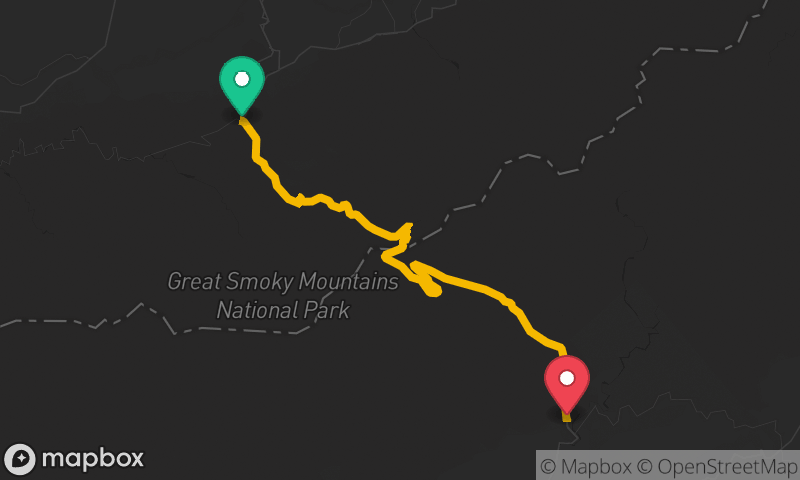
Newfound Gap Road
Sugarlands Visitor Center to Oconaluftee Visitor Center
- Distance
- 29 mi
- Time
- 54 min
- Climb
- 3,717 ft


