MotoRev
Route Twisty Staff Pick
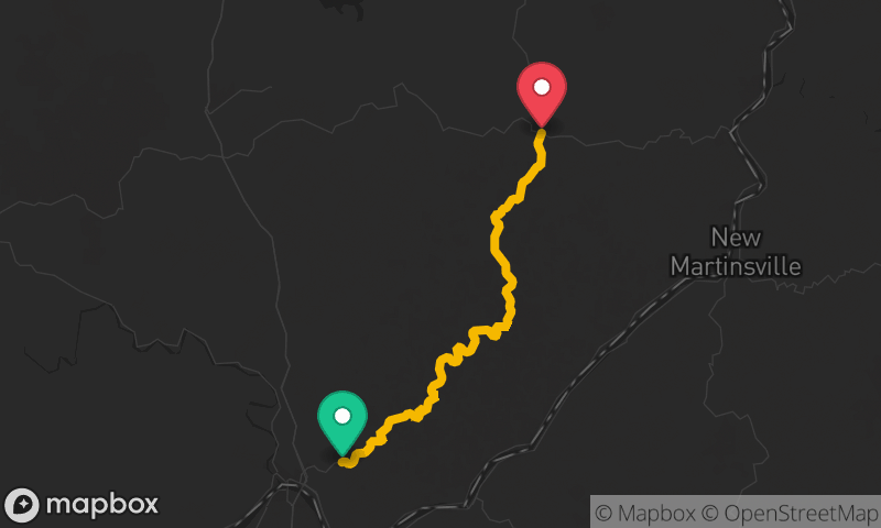
US 33: Elkins to Seneca Rocks
Elkins to Seneca Rocks


- Distance
- 35 mi
- Riding Time
- 46 min
- Climb
- 3,983 ft
- Difficulty
- Moderate
- Surface
- Paved
- Character
- Twisty
- Saves
- 0
Ride This Route opens it in MotoRev on your phone, iPhone or Android, for turn by turn navigation. On a computer, scan the code with your phone. Save Route keeps it in your saved routes on the web and in the app.
Road Guide
- Best Season
- May through October. Snow can linger on the high ridges into spring.
- Fuel
- Fill up in Elkins. Fuel is limited near Seneca Rocks.
- Watch For
- Trucks on the long grades, fog on the ridges, deer and gravel in the curves.
Weather Along the Route
Forecast at the hour you reach each point, from the riding time. Leave Departure empty to leave now. Forecast from Open-Meteo.
US 33 leaves Elkins and crosses several ridges of the Allegheny Mountains through the Monongahela National Forest, with long climbs and sweeping descents. It drops into the valley of the North Fork of the South Branch Potomac River at Seneca Rocks, a tall sandstone fin that is a landmark of the Spruce Knob and Seneca Rocks National Recreation Area.
Stops
- StartElkins
- FinishSeneca Rocks
Comments
More Routes Nearby
See All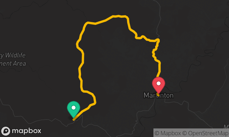
Highland Scenic Highway (WV 150)
Cranberry Mountain Nature Center to Marlinton
- Distance
- 29 mi
- Time
- 46 min
- Climb
- 3,002 ft


Historic National Road: Cumberland to Keysers Ridge
Cumberland to Keysers Ridge
- Distance
- 31 mi
- Time
- 54 min
- Climb
- 3,796 ft

Blue Ridge Parkway: Rockfish Gap to James River
Rockfish Gap to James River
- Distance
- 62 mi
- Time
- 2h 08m
- Climb
- 4,380 ft