1Ride
The map is the front door.
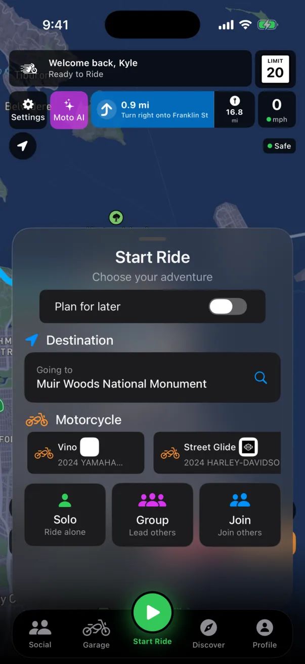
Open MotoRev and you are on the map. Your bike, a destination, Start Ride, and the few things that need you before you roll.


-
0.0 miDepart on Cornell Road
Before you roll
The Ride sheet sits over the map and gets out of the way when you want the whole thing. It shows the bike you are on, whether Protect is ready, a Where To field, and a Today strip: Protect not set up, a service due, an event this week, people waiting on you. Nothing shows unless it is real.
- TodayOnly what is real
- Protect Not Set UpAdd a contact
- Service DueChain, 120 mi
- Event This WeekBike Night, Thu
- People Waiting on You2 requests
-
0.7 miTurn right onto Mulholland Highway
Ride Detection
Forgot to hit start? Turn on Ride Detection in Settings and MotoRev asks Looks Like You're Riding, with Start Ride or Not Riding. Rides it catches stay on your phone for 30 days until you save them. You can also log a past ride by drawing it on the map or importing a GPX file or Google Maps Timeline. Drawn rides count toward your miles, never toward leaderboards or top speed.
Ride Detection
Looks Like You're Riding
Start RideNot Riding- Caught RidesKept 30 days
- Draw on the MapCounts toward miles
- Import a GPX FileAny device
- Google Maps TimelinePast rides
-
2.6 miTurn right onto Troutdale Drive
Navigation built for a bike
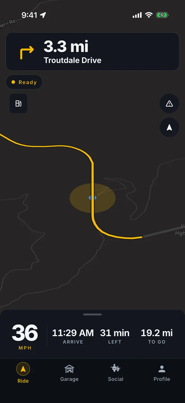
Turn by turn with the next turn, the posted limit and your speed up top where you can read it at a glance. Routes prefer the road a rider would pick, and you can plan on the web and send the route to the app.
- Next Turn
- 3.3 mi
- Posted
- 45
- Your Speed
- 38
-
2.9 miTurn left onto Kanan Road
Hazards from riders ahead
Two taps reports police, an accident, road work, debris, gravel or ice with a severity. Every rider behind you on that road hears about it before they get there.
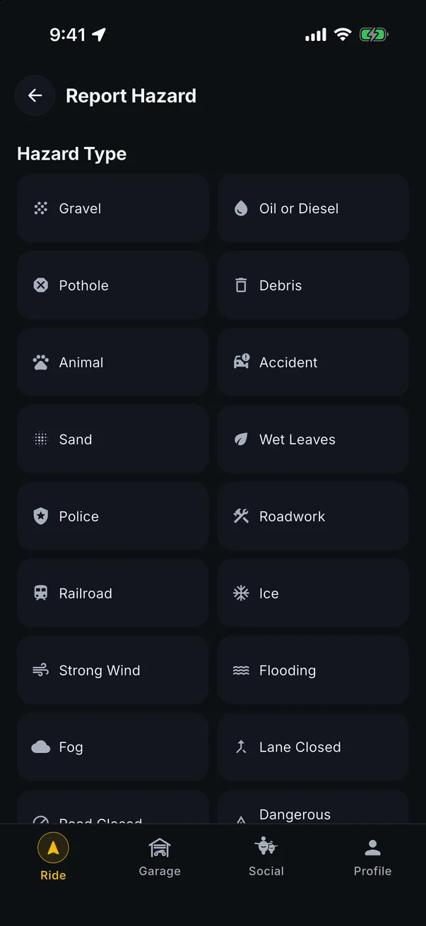
- 01Police
- 02Accident
- 03Road Work
- 04Debris
- 05Gravel
- 06Ice
-
12.3 miTurn right onto Pacific Coast Highway
Ride together
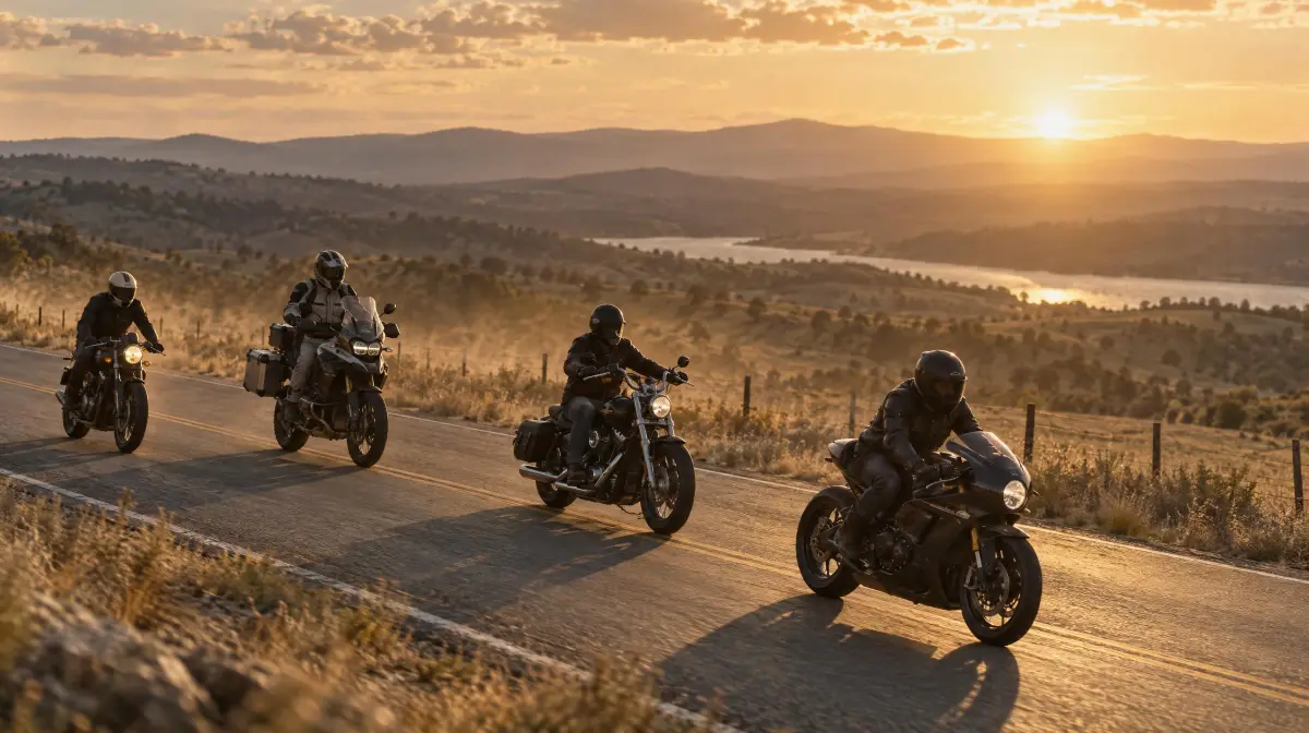
Start a group ride, share one code, and everyone is on the map. Live voice is free and runs through the headset you already wear, Open Mic or Push to Talk. The leader sets the pace, a Co-Leader and a Sweep can help run it, and anyone who falls too far behind sets off an alert. Quick signals and Rider Down, with directions to the rider, are a tap away. When it is over, the ride lands in the feed.
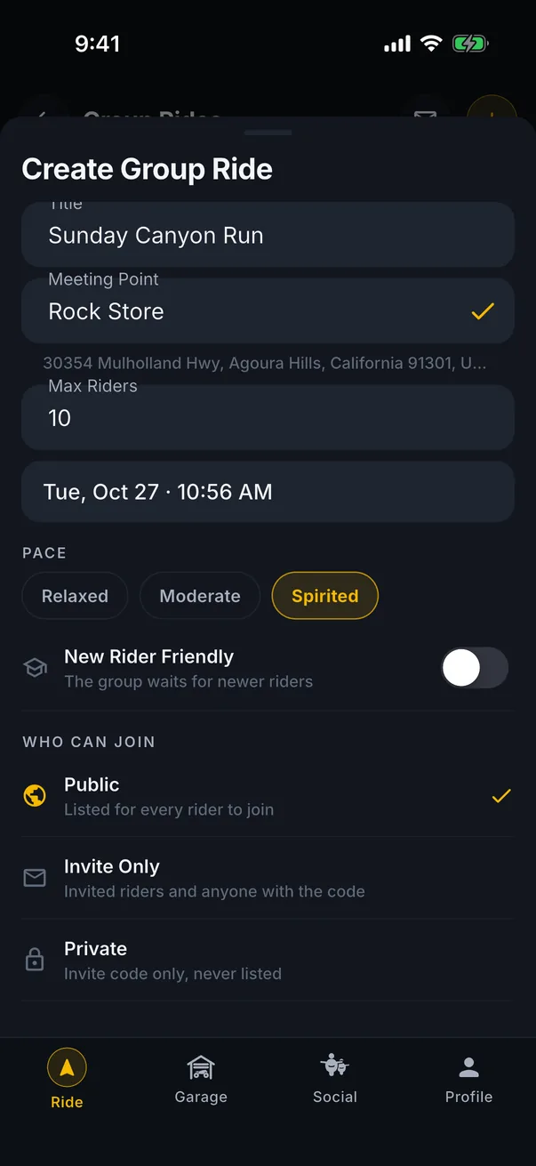
- LeaderSets the pace
- Co-LeaderHelps run it
- SweepRides last
- VoiceOpen Mic or Push to Talk
-
16.0 miContinue on Pacific Coast Highway
Routes you can ride again
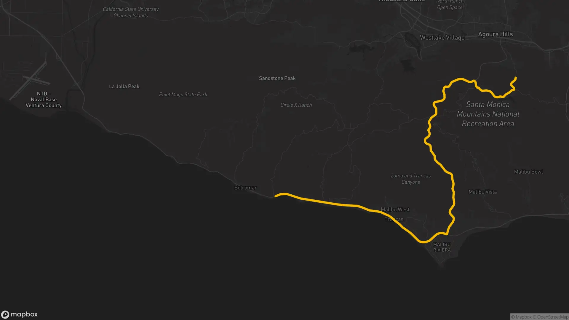
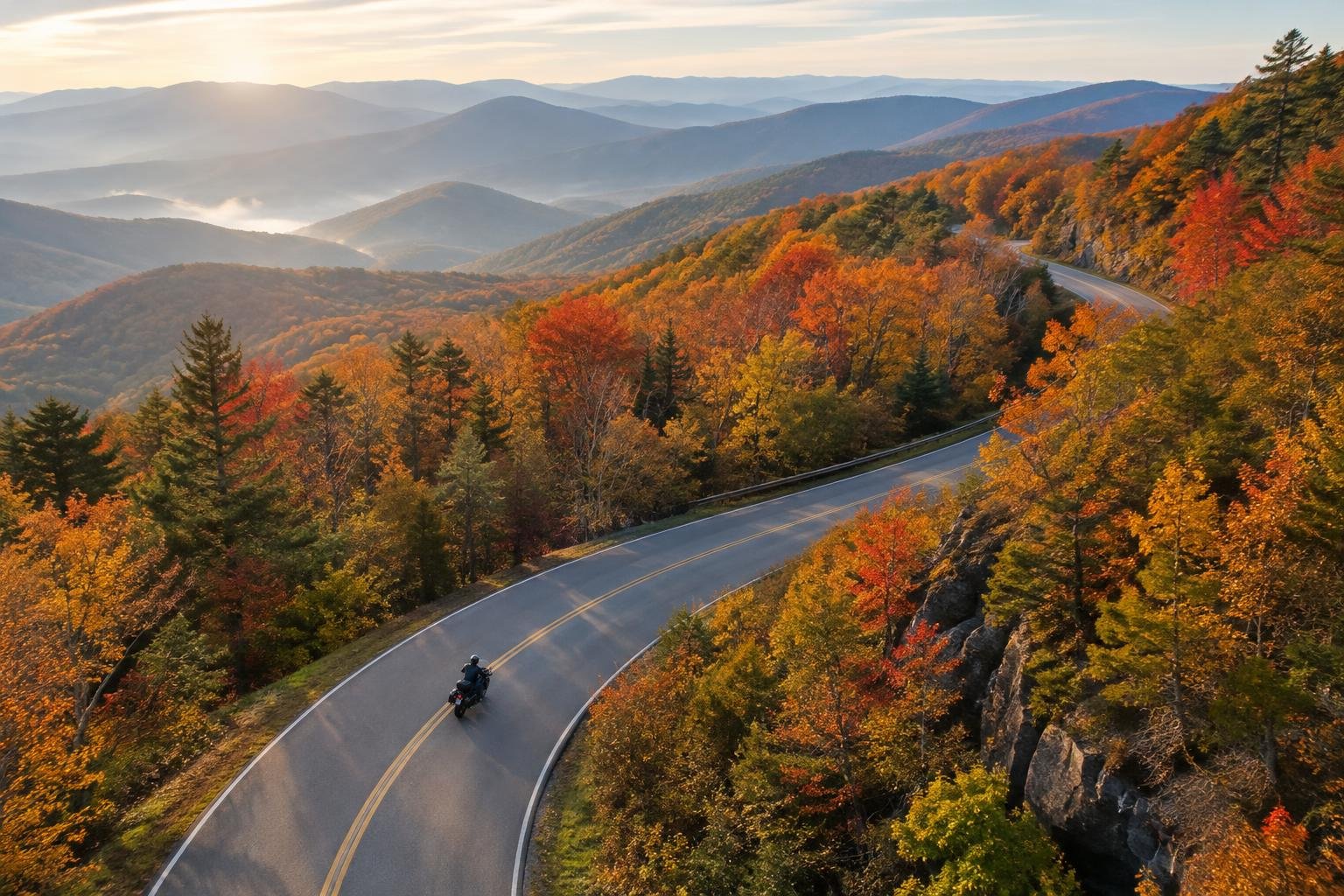
Plan in Route Studio on the web or in the app, with Twisty routing for the curviest way there or Scenic for back roads and views. Loop Ride builds a round trip from where you are. Every ride you record becomes a route with what you planned beside what you rode, ready to share, post or ride again. Save offline maps before you head out of signal.
- TwistyThe curviest way there
- ScenicBack roads and views
- Loop RideA round trip from here
- Offline MapsBefore you lose signal
-
20.5 miArrive at Leo Carrillo
Weather and fuel
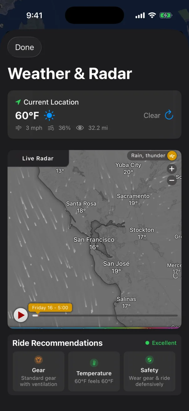
Current conditions for where you are and active National Weather Service alerts, a tap away on the map. Weather along your route before you leave. Fuel Finder shows stations near you with prices from Google and from riders who filled up, falls back to the area average, and sends you there with Ride Here.
- Fuel FinderStations near you
- PricesGoogle and riders
- No Price YetArea average
- Ride HereSends you there