 MotoRev
Route Scenic Staff Pick
M-28: Marquette to Munising
Marquette to Munising


- Distance
- 41 mi
- Riding Time
- 44 min
- Climb
- 1,129 ft
- Difficulty
- Easy
- Surface
- Paved
- Saves
- 0
Ride This Route opens it in MotoRev on your phone, iPhone or Android, for turn by turn navigation. On a computer, scan the code with your phone. Save Route keeps it in your saved routes on the web and in the app.
Road Guide
- Best Season
- June through early October. Snow comes early and stays late on Lake Superior, and spring brings frost heaves and cold mornings.
- Fuel
- Fuel is available in Marquette, Harvey and Munising.
- Watch For
- Wind off the lake, deer and logging trucks. Watch for cars pulling off for beaches and overlooks.
Weather Along the Route
Forecast at the hour you reach each point, from the riding time. Leave Departure empty to leave now. Forecast from Open-Meteo.
M-28 hugs the south shore of Lake Superior between Marquette and Munising, with long stretches right beside the water and roadside beaches. It passes through Harvey, Au Train and Christmas, with views across to Grand Island near Munising. It is an easy, open ride that links Marquette with Pictured Rocks.
Stops
- StartMarquette
- FinishMunising
Comments
More Routes Nearby
See All
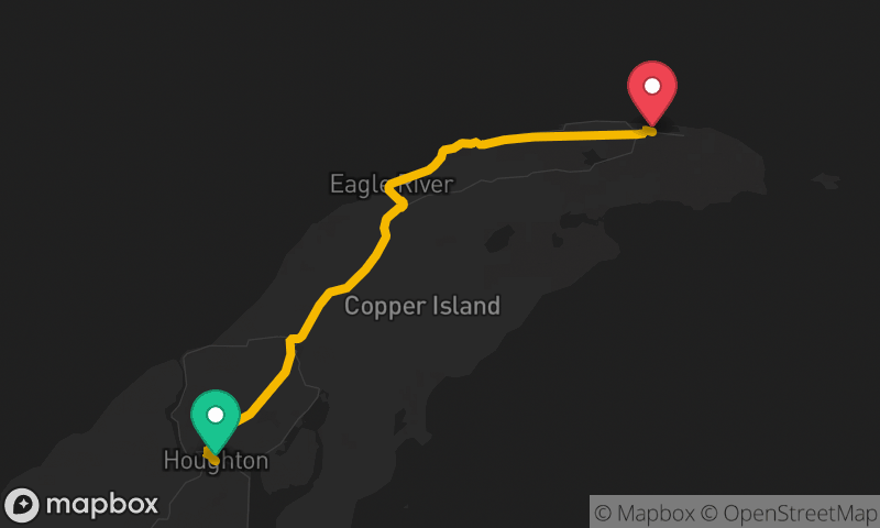
Keweenaw Peninsula: Houghton to Copper Harbor
Houghton to Copper Harbor
- Distance
- 50 mi
- Time
- 1h 28m
- Climb
- 2,146 ft