MotoRev
Route Scenic Staff Pick
H-58: Pictured Rocks
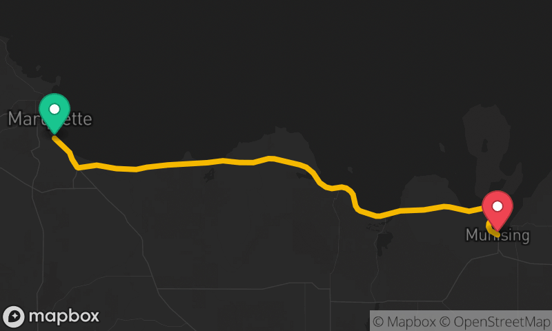
Munising to Grand Marais


- Distance
- 49 mi
- Riding Time
- 1h 13m
- Climb
- 1,148 ft
- Difficulty
- Moderate
- Surface
- Paved
- Character
- Twisty
- Saves
- 0
Ride This Route opens it in MotoRev on your phone, iPhone or Android, for turn by turn navigation. On a computer, scan the code with your phone. Save Route keeps it in your saved routes on the web and in the app.
Road Guide
- Best Season
- June through early October. Snow comes early and stays late on Lake Superior, and spring brings frost heaves and cold mornings.
- Closures
- Open year round but often snow covered from November into April.
- Fuel
- Fuel is in Munising and Grand Marais only. There is nothing in between.
- Watch For
- Deer, sand on the pavement near the dunes and park visitors turning off for trailheads. Frost heaves and patches appear after winter.
Weather Along the Route
Forecast at the hour you reach each point, from the riding time. Leave Departure empty to leave now. Forecast from Open-Meteo.
Alger County Road H-58 runs between Munising and Grand Marais along the inland side of Pictured Rocks National Lakeshore. The road rolls and winds through hardwood and pine forest, with side roads to Miners Castle, Twelvemile Beach and the Grand Sable Dunes. It is fully paved and a classic Upper Peninsula ride.
Stops
- StartMunising
- FinishGrand Marais