MotoRev
Route Scenic Staff Pick
Keweenaw Peninsula: Houghton to Copper Harbor
Houghton to Copper Harbor


- Distance
- 50 mi
- Riding Time
- 1h 28m
- Climb
- 2,146 ft
- Difficulty
- Moderate
- Surface
- Paved
- Character
- Twisty
- Saves
- 0
Ride This Route opens it in MotoRev on your phone, iPhone or Android, for turn by turn navigation. On a computer, scan the code with your phone. Save Route keeps it in your saved routes on the web and in the app.
Road Guide
- Best Season
- Late May through early October. Fall color peaks around late September to early October.
- Closures
- Brockway Mountain Drive is not plowed in winter and is closed by snow from late fall to spring.
- Fuel
- Fuel is in Houghton, Hancock and Calumet. Fill up in Calumet, as stations farther north are few.
- Watch For
- Deer, gravel on the shoulders and sharp turns on Brockway Mountain Drive. The lake shore can be windy and cold even in summer.
Weather Along the Route
Forecast at the hour you reach each point, from the riding time. Leave Departure empty to leave now. Forecast from Open-Meteo.
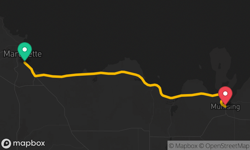
This route runs up the Keweenaw Peninsula from Houghton through Calumet on US 41, then follows M-26 along the Lake Superior shore through Eagle River and Eagle Harbor. It finishes over Brockway Mountain Drive, a ridge road high above the lake with wide views, before dropping into Copper Harbor. The old copper mining towns and the rocky shoreline make it one of the most scenic rides in the Midwest.
Stops
- StartHoughton
- FinishCopper Harbor