 MotoRev
Route Scenic Staff Pick
Gunflint Trail
Grand Marais to Trail's End


- Distance
- 53 mi
- Riding Time
- 1h 11m
- Climb
- 1,791 ft
- Difficulty
- Moderate
- Surface
- Paved
- Character
- Twisty
- Saves
- 0
Ride This Route opens it in MotoRev on your phone, iPhone or Android, for turn by turn navigation. On a computer, scan the code with your phone. Save Route keeps it in your saved routes on the web and in the app.
Road Guide
- Best Season
- June through early October.
- Fuel
- Fill up in Grand Marais. Fuel along the trail is limited to a few lodges and outfitters.
- Watch For
- Moose and deer on the road, logging trucks and narrow shoulders. There is no cell service along much of the trail.
Weather Along the Route
Forecast at the hour you reach each point, from the riding time. Leave Departure empty to leave now. Forecast from Open-Meteo.
The Gunflint Trail climbs out of Grand Marais and runs inland through the Superior National Forest to the edge of the Boundary Waters Canoe Area Wilderness. It is a paved, winding forest road past lakes, wetlands and burned areas regrowing from past wildfires. Moose are often seen along the way.
Stops
- StartGrand Marais
- FinishTrail's End
Comments
More Routes Nearby
See All
North Shore: Two Harbors to Grand Marais
Two Harbors to Grand Marais
- Distance
- 83 mi
- Time
- 1h 33m
- Climb
- 1,752 ft
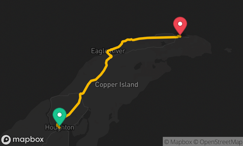
Keweenaw Peninsula: Houghton to Copper Harbor
Houghton to Copper Harbor
- Distance
- 50 mi
- Time
- 1h 28m
- Climb
- 2,146 ft