 MotoRev
Route Historic Staff Pick
Historic Columbia River Highway
Troutdale to Ainsworth State Park


- Distance
- 22 mi
- Riding Time
- 53 min
- Climb
- 2,162 ft
- Difficulty
- Easy
- Surface
- Paved
- Character
- Twisty
- Saves
- 0
Ride This Route opens it in MotoRev on your phone, iPhone or Android, for turn by turn navigation. On a computer, scan the code with your phone. Save Route keeps it in your saved routes on the web and in the app.
Road Guide
- Best Season
- Rideable all year. Spring brings the strongest waterfalls; summer brings the heaviest traffic.
- Closures
- Parts of the waterfall corridor have required timed use permits in summer, and ice or storm damage can close sections in winter. Check ODOT before riding.
- Fuel
- Fuel is available in Troutdale and Corbett. There is none along the waterfall corridor itself.
- Watch For
- Narrow lanes and tight curves below Crown Point, pedestrians and heavy parking at the falls, moss and wet leaves on the pavement, and strong Gorge winds.
Weather Along the Route
Forecast at the hour you reach each point, from the riding time. Leave Departure empty to leave now. Forecast from Open-Meteo.
Built between 1913 and 1922, the Historic Columbia River Highway was one of the first scenic highways planned in the United States. This section climbs from Troutdale to Vista House at Crown Point, loops down to river level on tight curves, and passes Latourell, Wahkeena, Multnomah and Horsetail Falls through the Columbia River Gorge.
Stops
- StartTroutdale
- FinishAinsworth State Park
Comments
More Routes Nearby
See All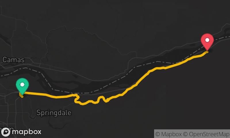
Historic Columbia River Highway
Troutdale to Ainsworth State Park
- Distance
- 21 mi
- Time
- 46 min
- Climb
- 1,430 ft

Oregon Coast Highway: Lincoln City to Florence
Lincoln City to Florence
- Distance
- 74 mi
- Time
- 1h 57m
- Climb
- 2,418 ft
