 MotoRev
Route Scenic Staff Pick
Oregon Coast Highway: Lincoln City to Florence
Lincoln City to Florence


- Distance
- 74 mi
- Riding Time
- 1h 57m
- Climb
- 2,418 ft
- Difficulty
- Easy
- Surface
- Paved
- Character
- Twisty
- Saves
- 0
Ride This Route opens it in MotoRev on your phone, iPhone or Android, for turn by turn navigation. On a computer, scan the code with your phone. Save Route keeps it in your saved routes on the web and in the app.
Road Guide
- Best Season
- Best from June through September, when the coast is driest. Fog is common on summer mornings; the rest of the year brings frequent rain and wind.
- Fuel
- Fuel is easy to find in Lincoln City, Newport, Waldport, Yachats and Florence.
- Watch For
- Crosswinds on headlands and bridges, wet pavement, fog, slow RV traffic, and cars pulling in and out of viewpoints.
Weather Along the Route
Forecast at the hour you reach each point, from the riding time. Leave Departure empty to leave now. Forecast from Open-Meteo.
The central Oregon coast on US 101 runs through Depoe Bay, around Otter Crest and over the Yaquina Bay Bridge at Newport, then follows the cliffs past Cape Perpetua and Heceta Head Lighthouse to the sand dunes at Florence. Pullouts and state parks line the whole stretch.
Stops
- StartLincoln City
- FinishFlorence
Comments
More Routes Nearby
See All
Historic Columbia River Highway
Troutdale to Ainsworth State Park
- Distance
- 22 mi
- Time
- 53 min
- Climb
- 2,162 ft
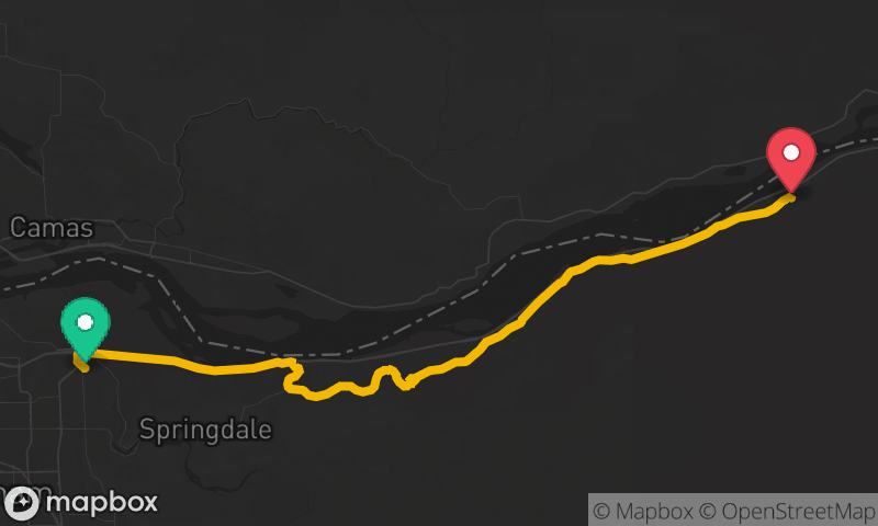
Historic Columbia River Highway
Troutdale to Ainsworth State Park
- Distance
- 21 mi
- Time
- 46 min
- Climb
- 1,430 ft