MotoRev
Route Twisty Staff Pick
McKenzie Pass Highway
Sisters to Belknap Springs


- Distance
- 38 mi
- Riding Time
- 1h 07m
- Climb
- 2,365 ft
- Difficulty
- Moderate
- Surface
- Paved
- Character
- Twisty
- Saves
- 0
Ride This Route opens it in MotoRev on your phone, iPhone or Android, for turn by turn navigation. On a computer, scan the code with your phone. Save Route keeps it in your saved routes on the web and in the app.
Road Guide
- Best Season
- Best from July through September, when the pass is open.
- Closures
- Closed every year from roughly November until late June by snow. Vehicles over 35 feet long are not allowed on the pass.
- Fuel
- Fill up in Sisters. There is no fuel on the pass; the nearest on the west side is in the McKenzie River valley.
- Watch For
- Very narrow road with tight hairpins and little or no shoulder, cyclists, lava rock and debris on the pavement, and snowbanks early in the season.
Weather Along the Route
Forecast at the hour you reach each point, from the riding time. Leave Departure empty to leave now. Forecast from Open-Meteo.
State Route 242 is a narrow scenic byway over the Cascades between Sisters and the McKenzie River. At the summit it crosses a huge lava field with views of the Three Sisters, Mount Washington and Mount Jefferson from the Dee Wright Observatory, then drops through old growth forest on a long run of tight curves and hairpins to the McKenzie River near Belknap Springs.
Stops
- StartSisters
- FinishBelknap Springs
Comments
More Routes Nearby
See All
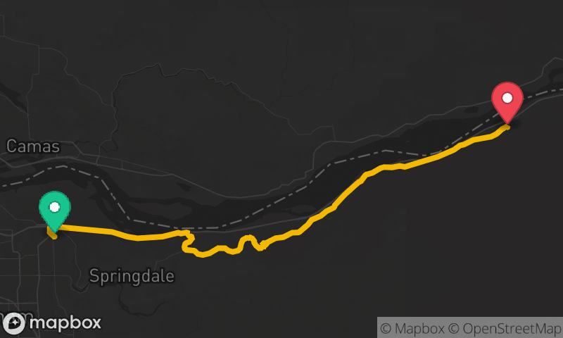
Historic Columbia River Highway
Troutdale to Ainsworth State Park
- Distance
- 22 mi
- Time
- 53 min
- Climb
- 2,162 ft
Historic Columbia River Highway
Troutdale to Ainsworth State Park
- Distance
- 21 mi
- Time
- 46 min
- Climb
- 1,430 ft