 MotoRev
Route Scenic Staff Pick
Cullasaja Gorge (US 64)
Franklin to Highlands


- Distance
- 19 mi
- Riding Time
- 38 min
- Climb
- 3,209 ft
- Difficulty
- Moderate
- Surface
- Paved
- Character
- Twisty
- Saves
- 0
Ride This Route opens it in MotoRev on your phone, iPhone or Android, for turn by turn navigation. On a computer, scan the code with your phone. Save Route keeps it in your saved routes on the web and in the app.
Road Guide
- Best Season
- April through November. Waterfalls run strongest in spring and fall color peaks in October.
- Fuel
- Fill up in Franklin or Highlands. There is nothing in the gorge.
- Watch For
- Narrow lanes, sheer drop offs with low walls, rockfall, tourists stopping for waterfalls and almost no shoulder.
Weather Along the Route
Forecast at the hour you reach each point, from the riding time. Leave Departure empty to leave now. Forecast from Open-Meteo.
US 64 climbs from Franklin to Highlands through the Cullasaja River gorge, a narrow road cut into rock above the river. Cullasaja Falls, Dry Falls and Bridal Veil Falls are all on or just off the road, and the old highway once ran behind Bridal Veil Falls. Highlands at the top is one of the highest towns in the eastern United States.
Stops
- StartFranklin
- FinishHighlands
Comments
More Routes Nearby
See All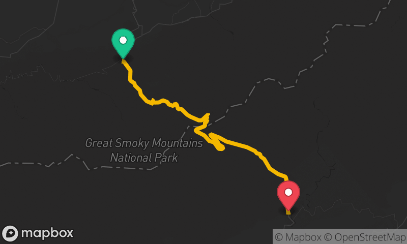
Newfound Gap Road
Sugarlands Visitor Center to Oconaluftee Visitor Center
- Distance
- 29 mi
- Time
- 54 min
- Climb
- 3,717 ft


Richard B. Russell Scenic Highway (GA 348)
Helen to Vogel State Park
- Distance
- 21 mi
- Time
- 35 min
- Climb
- 3,780 ft