MotoRev
Route Twisty Staff Pick
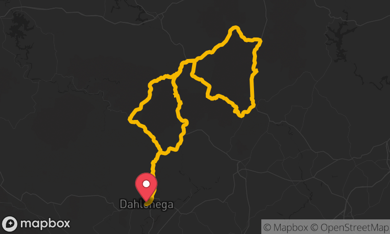
Richard B. Russell Scenic Highway (GA 348)
Helen to Vogel State Park


- Distance
- 21 mi
- Riding Time
- 35 min
- Climb
- 3,780 ft
- Difficulty
- Moderate
- Surface
- Paved
- Character
- Twisty
- Saves
- 0
Ride This Route opens it in MotoRev on your phone, iPhone or Android, for turn by turn navigation. On a computer, scan the code with your phone. Save Route keeps it in your saved routes on the web and in the app.
Road Guide
- Best Season
- April through November. Fall color peaks in late October.
- Closures
- Can be closed briefly by snow and ice in winter.
- Fuel
- Fill up in Helen or Blairsville. There is no fuel on GA 348.
- Watch For
- Steep grades, tight curves, hikers parked at the gaps and gravel in the corners.
Weather Along the Route
Forecast at the hour you reach each point, from the riding time. Leave Departure empty to leave now. Forecast from Open-Meteo.
GA 348 climbs from the valley near Helen over the Blue Ridge through the Chattahoochee National Forest. It crosses the Appalachian Trail at Hogpen Gap and Tesnatee Gap, where overlooks face the mountains to the south, then descends in a string of curves to GA 180 near Vogel State Park.
Stops
- StartHelen
- FinishVogel State Park