 MotoRev
Route: Blue Ridge Parkway in a Weekend
Four hundred miles of curves, where to fuel, where to sleep and what to skip.

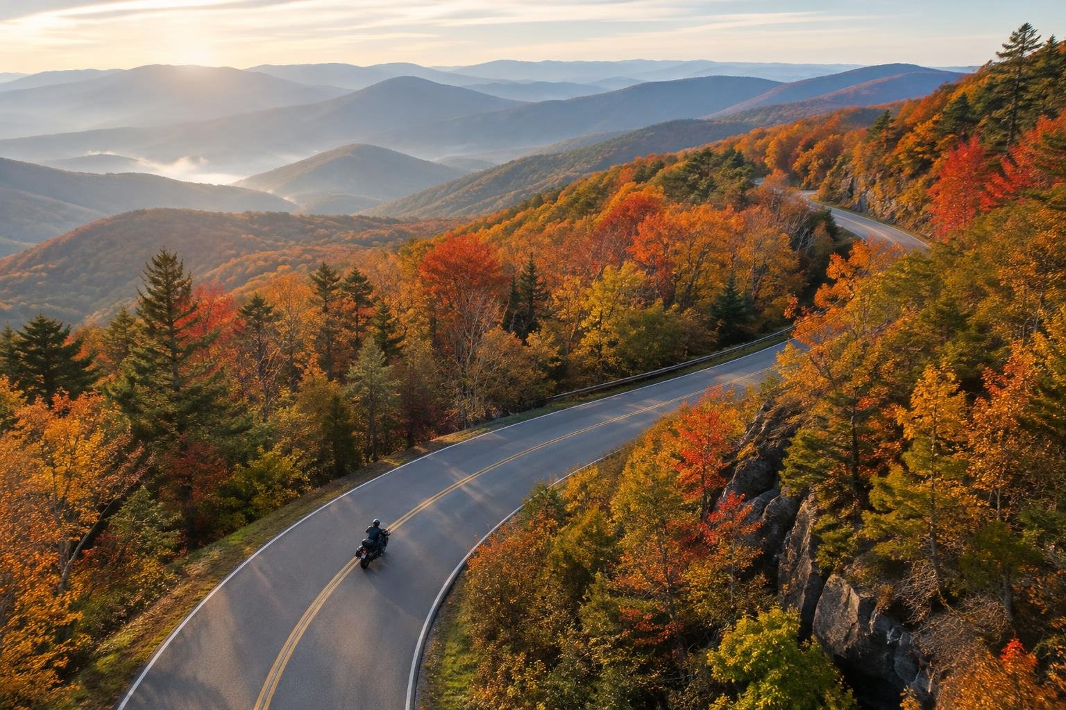
The Blue Ridge Parkway is 469 miles of two lane road with no stop signs, no trucks and a 45 mph limit that nobody is in a hurry to break. It is not a fast road. It is the best slow road in the country, and it is best ridden over two days in October.
Day one: Waynesboro to Boone
Start at the north end at Rockfish Gap and fuel up in Waynesboro, because there is no fuel on the Parkway itself. The first hundred miles roll through farmland and ridge tops with long views east. Stop at Peaks of Otter for lunch. From Roanoke south the road climbs and the curves tighten. Plan to come off at Boone, around milepost 290, for the night. Expect about 200 miles and seven hours including stops.
Day two: Boone to Cherokee
This is the half you came for. Linn Cove Viaduct, Linville Falls, then the long climb past Mount Mitchell, the highest point east of the Mississippi. The twenty miles either side of Craggy Gardens are as good as any road in the Alps. Fuel in Asheville, then ride the last 90 miles of switchbacks down to Cherokee and the southern terminus.
What to know
Fog closes the high sections without warning. Check the NPS road status page the morning you ride. Leaves are down by early November and the upper sections close for snow. Deer are everywhere at dusk, so finish riding before dark. Sunday mornings are quiet, Saturday afternoons are not.
Skip
The Mabry Mill crowd at noon, and any temptation to pass on a blind crest. Rangers run radar and the fines are federal.
#route #roads #touring #blueridge




Comments