 MotoRev
Route Twisty Staff Pick
US 178: Pickens to Rosman
Pickens to Rosman


- Distance
- 25 mi
- Riding Time
- 41 min
- Climb
- 3,215 ft
- Difficulty
- Hard
- Surface
- Paved
- Character
- Twisty
- Saves
- 0
Ride This Route opens it in MotoRev on your phone, iPhone or Android, for turn by turn navigation. On a computer, scan the code with your phone. Save Route keeps it in your saved routes on the web and in the app.
Road Guide
- Best Season
- April through November.
- Fuel
- Fill up in Pickens or Rosman. There is no fuel in the mountains between.
- Watch For
- Tight blind curves, steep grades, gravel and very little shoulder.
Weather Along the Route
Forecast at the hour you reach each point, from the riding time. Leave Departure empty to leave now. Forecast from Open-Meteo.
US 178 climbs from Pickens up the Blue Ridge Escarpment past Rocky Bottom, where the road to Sassafras Mountain, the highest point in South Carolina, branches off. Near the North Carolina line it turns into a tight, steep chain of curves before descending to Rosman on the French Broad River.
Stops
- StartPickens
- FinishRosman
Comments
More Routes Nearby
See All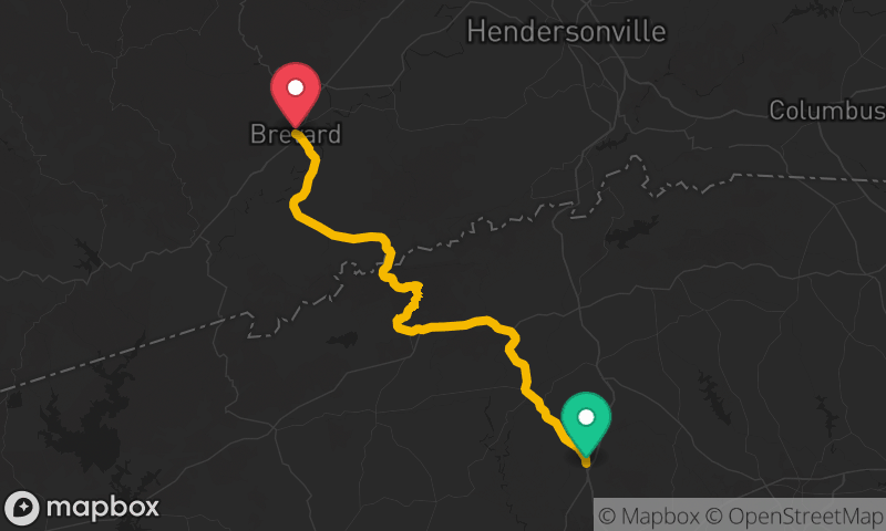


Blue Ridge Parkway: Asheville to Cherokee
French Broad River, Asheville to Oconaluftee, Cherokee
- Distance
- 68 mi
- Time
- 1h 58m
- Climb
- 7,927 ft


Blue Ridge Parkway South to Waterrock Knob
Blue Ridge Parkway at NC 191 to Waterrock Knob
- Distance
- 59 mi
- Time
- 1h 43m
- Climb
- 8,780 ft