MotoRev
Route Scenic Staff Pick
Ohio River Scenic Byway: Madison to Rising Sun
Madison to Rising Sun


- Distance
- 47 mi
- Riding Time
- 1h 03m
- Climb
- 1,555 ft
- Difficulty
- Easy
- Surface
- Paved
- Saves
- 0
Ride This Route opens it in MotoRev on your phone, iPhone or Android, for turn by turn navigation. On a computer, scan the code with your phone. Save Route keeps it in your saved routes on the web and in the app.
Road Guide
- Best Season
- April through November.
- Fuel
- Fuel is in Madison, Vevay and Rising Sun.
- Watch For
- Flooding can close low sections near the river after heavy rain. Watch for deer, farm equipment and gravel at field entrances.
Weather Along the Route
Forecast at the hour you reach each point, from the riding time. Leave Departure empty to leave now. Forecast from Open-Meteo.
This stretch of the Ohio River Scenic Byway runs from historic Madison to Vevay on Indiana 56, then follows Indiana 156 close to the river through Patriot before joining 56 again to Rising Sun. Much of the way the road sits between the river and wooded bluffs. Madison and Vevay both have well preserved 19th century river town centers.
Stops
- StartMadison
- FinishRising Sun
Comments
More Routes Nearby
See All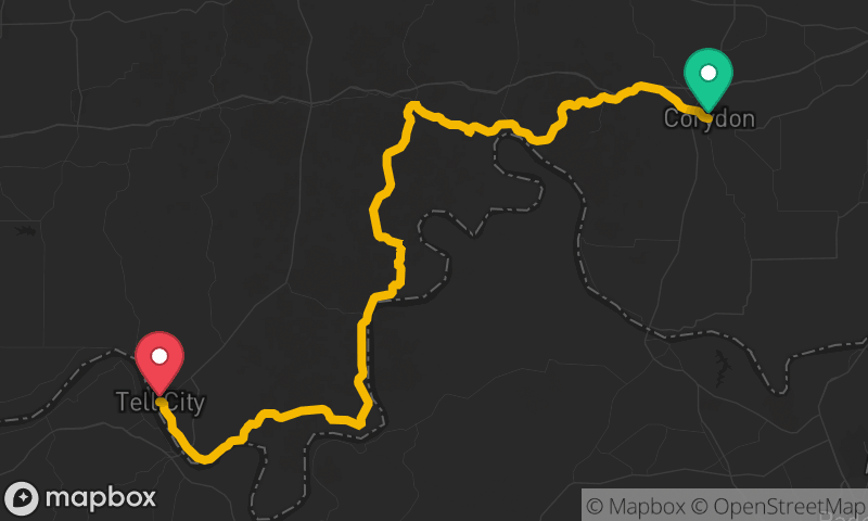
Ohio River Scenic Byway: Corydon to Tell City
Corydon to Tell City
- Distance
- 68 mi
- Time
- 1h 51m
- Climb
- 2,795 ft