MotoRev
Route Scenic Staff Pick
Ohio River Scenic Byway: Corydon to Tell City
Corydon to Tell City


- Distance
- 68 mi
- Riding Time
- 1h 51m
- Climb
- 2,795 ft
- Difficulty
- Moderate
- Surface
- Paved
- Character
- Twisty
- Saves
- 0
Ride This Route opens it in MotoRev on your phone, iPhone or Android, for turn by turn navigation. On a computer, scan the code with your phone. Save Route keeps it in your saved routes on the web and in the app.
Road Guide
- Best Season
- April through November. Spring green and fall color are the best times.
- Fuel
- Fuel is in Corydon and Tell City, with a few stations in between. Rural gaps are moderate.
- Watch For
- Deer, farm traffic and trucks on 62. Watch for gravel at side roads and in shaded curves.
Weather Along the Route
Forecast at the hour you reach each point, from the riding time. Leave Departure empty to leave now. Forecast from Open-Meteo.
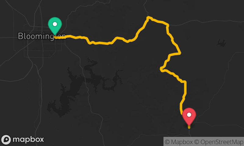
Indiana 62 heads west from the old state capital at Corydon through wooded hills to the river town of Leavenworth, where the road looks out over a bend in the Ohio River. West of there, the route follows Indiana 66 through the Hoosier National Forest and down to the river towns of Cannelton and Tell City. It is part of the Ohio River Scenic Byway.
Stops
- StartCorydon
- FinishTell City
Comments
More Routes Nearby
See All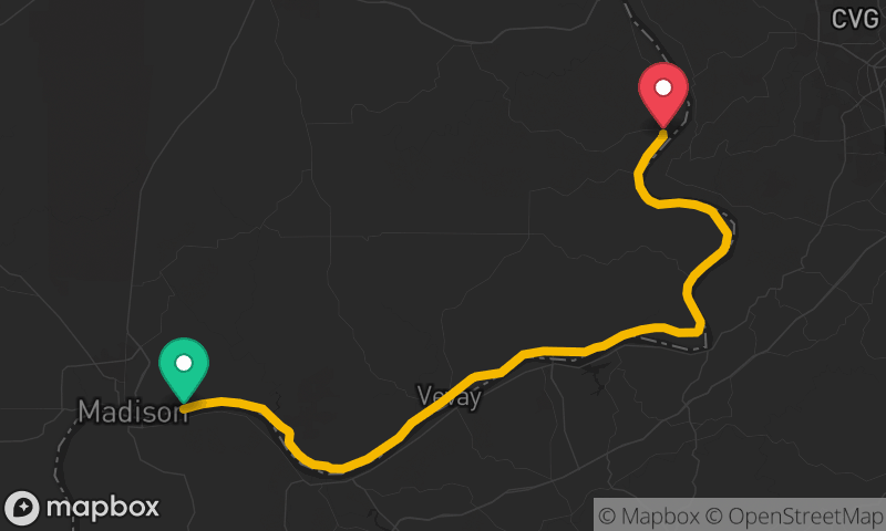
Ohio River Scenic Byway: Madison to Rising Sun
Madison to Rising Sun
- Distance
- 47 mi
- Time
- 1h 03m
- Climb
- 1,555 ft