MotoRev
Route Scenic Staff Pick
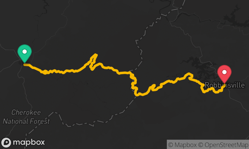
Ocoee Scenic Byway
Ocoee to Ducktown


- Distance
- 26 mi
- Riding Time
- 34 min
- Climb
- 3,278 ft
- Difficulty
- Moderate
- Surface
- Paved
- Character
- Twisty
- Saves
- 0
Ride This Route opens it in MotoRev on your phone, iPhone or Android, for turn by turn navigation. On a computer, scan the code with your phone. Save Route keeps it in your saved routes on the web and in the app.
Road Guide
- Best Season
- March through November. Summer weekends bring heavy rafting traffic.
- Fuel
- Fill up in Cleveland or Ocoee before the gorge, or in Ducktown at the east end.
- Watch For
- Rafting buses and trailers, rockfall, wet pavement from river spray and shade, and trucks using US 64 as a through route.
Weather Along the Route
Forecast at the hour you reach each point, from the riding time. Leave Departure empty to leave now. Forecast from Open-Meteo.
US 64 follows the Ocoee River through a narrow gorge in the Cherokee National Forest, passing Lake Ocoee and a string of whitewater runs. The Ocoee Whitewater Center, built for the 1996 Olympic canoe and kayak events, sits beside the road. The curves are steady and flowing, with rock walls on one side and the river on the other.
Stops
- StartOcoee
- FinishDucktown