MotoRev
Route Scenic Staff Pick
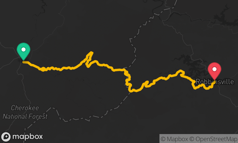
Cherohala Skyway
Tellico Plains to Robbinsville


- Distance
- 50 mi
- Riding Time
- 1h 21m
- Climb
- 6,083 ft
- Difficulty
- Moderate
- Surface
- Paved
- Character
- Twisty
- Saves
- 0
Ride This Route opens it in MotoRev on your phone, iPhone or Android, for turn by turn navigation. On a computer, scan the code with your phone. Save Route keeps it in your saved routes on the web and in the app.
Road Guide
- Best Season
- May through October. The high elevations stay cool in summer and fall color peaks in October.
- Closures
- Can close in winter during snow and ice at the higher elevations.
- Fuel
- There are no services on the Skyway. Fill up in Tellico Plains or Robbinsville.
- Watch For
- Fog and low cloud on the ridges, sudden temperature drops, wildlife, and sweepers that tighten. Cell coverage is poor.
Weather Along the Route
Forecast at the hour you reach each point, from the riding time. Leave Departure empty to leave now. Forecast from Open-Meteo.
The Cherohala Skyway links Tellico Plains, Tennessee and Robbinsville, North Carolina across the Cherokee and Nantahala National Forests, which give it its name. It follows the Tellico River before climbing to ridgelines above 5,000 feet with long sweeping curves and wide overlooks. It pairs naturally with the Tail of the Dragon for a loop.
Stops
- StartTellico Plains
- FinishRobbinsville