 MotoRev
Route Scenic Staff Pick
Cherokee Foothills Scenic Highway (SC 11)
Gaffney to Lake Keowee


- Distance
- 81 mi
- Riding Time
- 1h 48m
- Climb
- 2,746 ft
- Difficulty
- Easy
- Surface
- Paved
- Saves
- 0
Ride This Route opens it in MotoRev on your phone, iPhone or Android, for turn by turn navigation. On a computer, scan the code with your phone. Save Route keeps it in your saved routes on the web and in the app.
Road Guide
- Best Season
- March through November. Spring brings peach blossoms and fall brings color on the escarpment.
- Fuel
- Fuel is available in Gaffney, Chesnee, near Travelers Rest and US 276, and near Pickens.
- Watch For
- Farm equipment, cross traffic at rural junctions, and tourists slowing for orchards and parks.
Weather Along the Route
Forecast at the hour you reach each point, from the riding time. Leave Departure empty to leave now. Forecast from Open-Meteo.
SC 11 follows the base of the Blue Ridge Escarpment across upstate South Carolina, through peach orchards and small towns with the mountains rising to the north. It passes Cowpens National Battlefield, Table Rock State Park and the turnoffs to Caesars Head, ending near Lake Keowee.
Stops
- StartGaffney
- FinishLake Keowee
Comments
More Routes Nearby
See All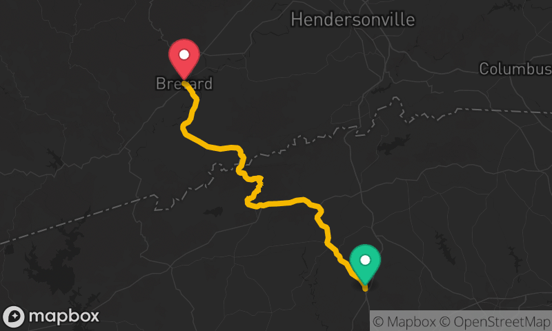

Blue Ridge Parkway to Craggy Gardens
Folk Art Center to Craggy Gardens
- Distance
- 17 mi
- Time
- 32 min
- Climb
- 3,806 ft


Blue Ridge Parkway: Asheville to Mount Mitchell
Folk Art Center, Asheville to Mount Mitchell State Park
- Distance
- 30 mi
- Time
- 54 min
- Climb
- 5,981 ft

