MotoRev
Route Scenic Staff Pick
Tunnel of Trees (M-119)
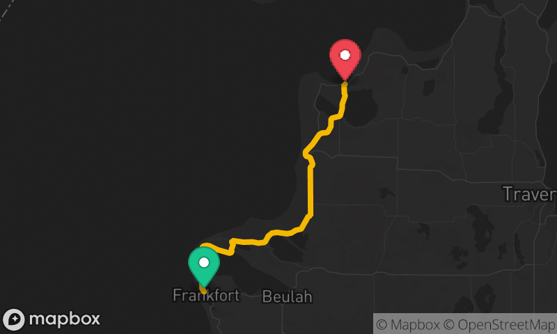
Harbor Springs to Cross Village


- Distance
- 20 mi
- Riding Time
- 40 min
- Climb
- 1,578 ft
- Difficulty
- Moderate
- Surface
- Paved
- Character
- Twisty
- Saves
- 0
Ride This Route opens it in MotoRev on your phone, iPhone or Android, for turn by turn navigation. On a computer, scan the code with your phone. Save Route keeps it in your saved routes on the web and in the app.
Road Guide
- Best Season
- May through October. The canopy is best in summer and in early to mid October when the leaves turn.
- Fuel
- Fuel is in Harbor Springs and Petoskey. There is little to none north of Harbor Springs, so fill up before you start.
- Watch For
- The lane is very narrow with no shoulder, and oncoming cars often drift over the middle. Expect bicycles, slow sightseers and wet leaves in shade.
Weather Along the Route
Forecast at the hour you reach each point, from the riding time. Leave Departure empty to leave now. Forecast from Open-Meteo.
M-119 runs north from Harbor Springs along the bluffs above Lake Michigan to Cross Village, under a canopy of hardwoods that gives the Tunnel of Trees its name. The road is narrow with no center line for much of the way and a long series of tight curves. It passes the small settlement of Good Hart and is one of the most photographed drives in Michigan.
Stops
- StartHarbor Springs
- FinishCross Village