 MotoRev
Route Scenic Staff Pick
Natchez Trace Parkway: Tupelo to French Camp
Tupelo to French Camp


- Distance
- 86 mi
- Riding Time
- 1h 36m
- Climb
- 1,778 ft
- Difficulty
- Easy
- Surface
- Paved
- Saves
- 0
Ride This Route opens it in MotoRev on your phone, iPhone or Android, for turn by turn navigation. On a computer, scan the code with your phone. Save Route keeps it in your saved routes on the web and in the app.
Road Guide
- Best Season
- March through May and October through November.
- Fuel
- There is no fuel on the parkway. Exit to Tupelo, Houston, Mathiston or Ackerman.
- Watch For
- Deer, cyclists sharing the lane, and a 50 mph limit enforced by park rangers.
Weather Along the Route
Forecast at the hour you reach each point, from the riding time. Leave Departure empty to leave now. Forecast from Open-Meteo.
From Tupelo, home of the parkway headquarters and visitor center, the Natchez Trace Parkway heads southwest through farmland and pine forest with no commercial traffic. It passes Jeff Busby Park and its overlook on Little Mountain, and ends at French Camp, a historic settlement right beside the road.
Stops
- StartTupelo
- FinishFrench Camp
Comments
More Routes Nearby
See All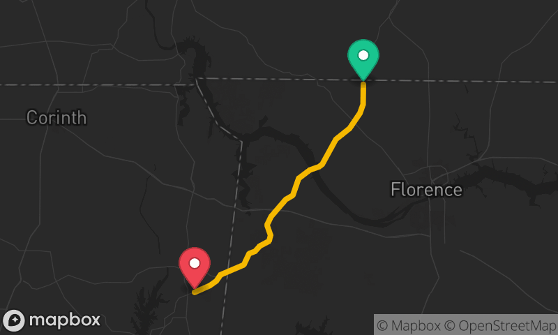
Natchez Trace Parkway: Tennessee Line to Tishomingo
Alabama and Tennessee Line to Tishomingo State Park
- Distance
- 38 mi
- Time
- 42 min
- Climb
- 1,368 ft