MotoRev
Route Twisty Staff Pick
Mount Greylock Summit Road
Mount Greylock Visitor Center to Mount Greylock Summit


- Distance
- 8 mi
- Riding Time
- 25 min
- Climb
- 2,093 ft
- Difficulty
- Moderate
- Surface
- Paved
- Character
- Twisty
- Saves
- 0
Ride This Route opens it in MotoRev on your phone, iPhone or Android, for turn by turn navigation. On a computer, scan the code with your phone. Save Route keeps it in your saved routes on the web and in the app.
Road Guide
- Best Season
- Late May to October, when the summit roads are open.
- Closures
- The roads to the summit close to vehicles from late fall to spring, usually November through mid May.
- Fuel
- No fuel on the mountain. Fill up in Pittsfield, Lanesborough or North Adams.
- Watch For
- Narrow road with tight curves, hikers and cyclists, deer, and fog or wind at the summit.
Weather Along the Route
Forecast at the hour you reach each point, from the riding time. Leave Departure empty to leave now. Forecast from Open-Meteo.
Rockwell Road climbs from the Mount Greylock visitor center in Lanesborough to the summit of Mount Greylock, the highest point in Massachusetts. The summit has the Veterans War Memorial Tower and Bascom Lodge, with views across the Berkshires and into New York and Vermont.
Stops
- StartMount Greylock Visitor Center
- FinishMount Greylock Summit
Comments
More Routes Nearby
See All

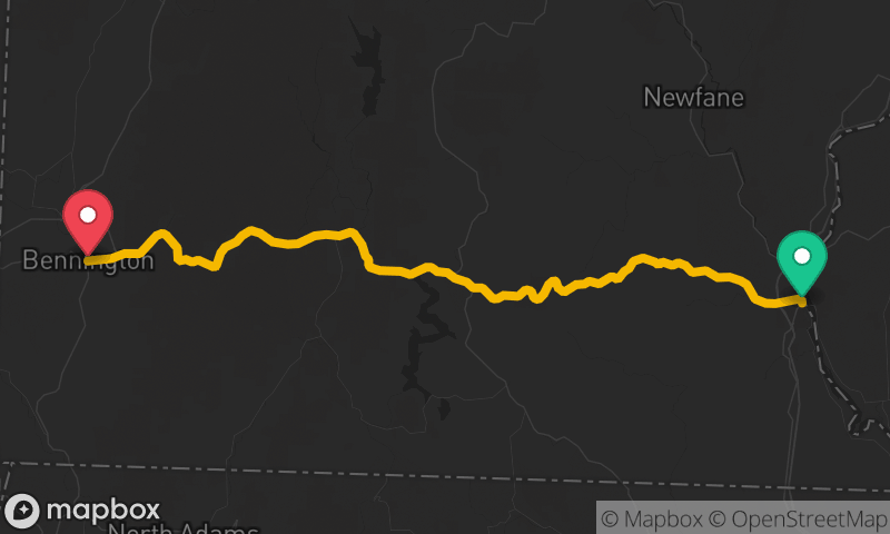
Route 100 Vermont: Wilmington to Killington
Wilmington to West Bridgewater
- Distance
- 73 mi
- Time
- 1h 51m
- Climb
- 4,987 ft

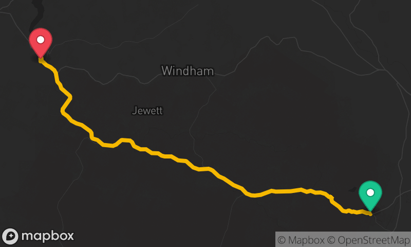
Route 23A Catskills: Palenville to Prattsville
Palenville to Prattsville
- Distance
- 28 mi
- Time
- 41 min
- Climb
- 2,549 ft