MotoRev
Route Scenic Staff Pick
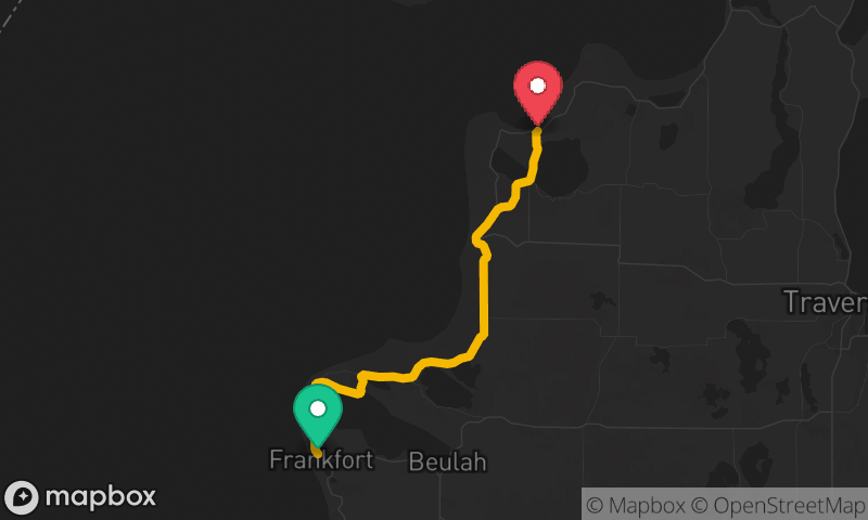
Door County (Wisconsin 42)
Sturgeon Bay to Northport


- Distance
- 44 mi
- Riding Time
- 1h 12m
- Climb
- 1,299 ft
- Difficulty
- Easy
- Surface
- Paved
- Saves
- 0
Ride This Route opens it in MotoRev on your phone, iPhone or Android, for turn by turn navigation. On a computer, scan the code with your phone. Save Route keeps it in your saved routes on the web and in the app.
Road Guide
- Best Season
- May through October. Cherry blossoms come in late May and fall color in October.
- Fuel
- Fuel is in Sturgeon Bay, Egg Harbor, Fish Creek and Sister Bay.
- Watch For
- Heavy summer and fall tourist traffic, pedestrians in the villages and bicycles on the road.
Weather Along the Route
Forecast at the hour you reach each point, from the riding time. Leave Departure empty to leave now. Forecast from Open-Meteo.
Wisconsin 42 runs up the Green Bay side of the Door Peninsula from Sturgeon Bay through Egg Harbor, Fish Creek, Ephraim and Sister Bay to Northport. The road passes Peninsula State Park and harbor towns along the bay. North of Gills Rock, the last stretch of 42 is a famous serpentine section of tight, deliberate curves through the woods.
Stops
- StartSturgeon Bay
- FinishNorthport